

Yancey County From Above
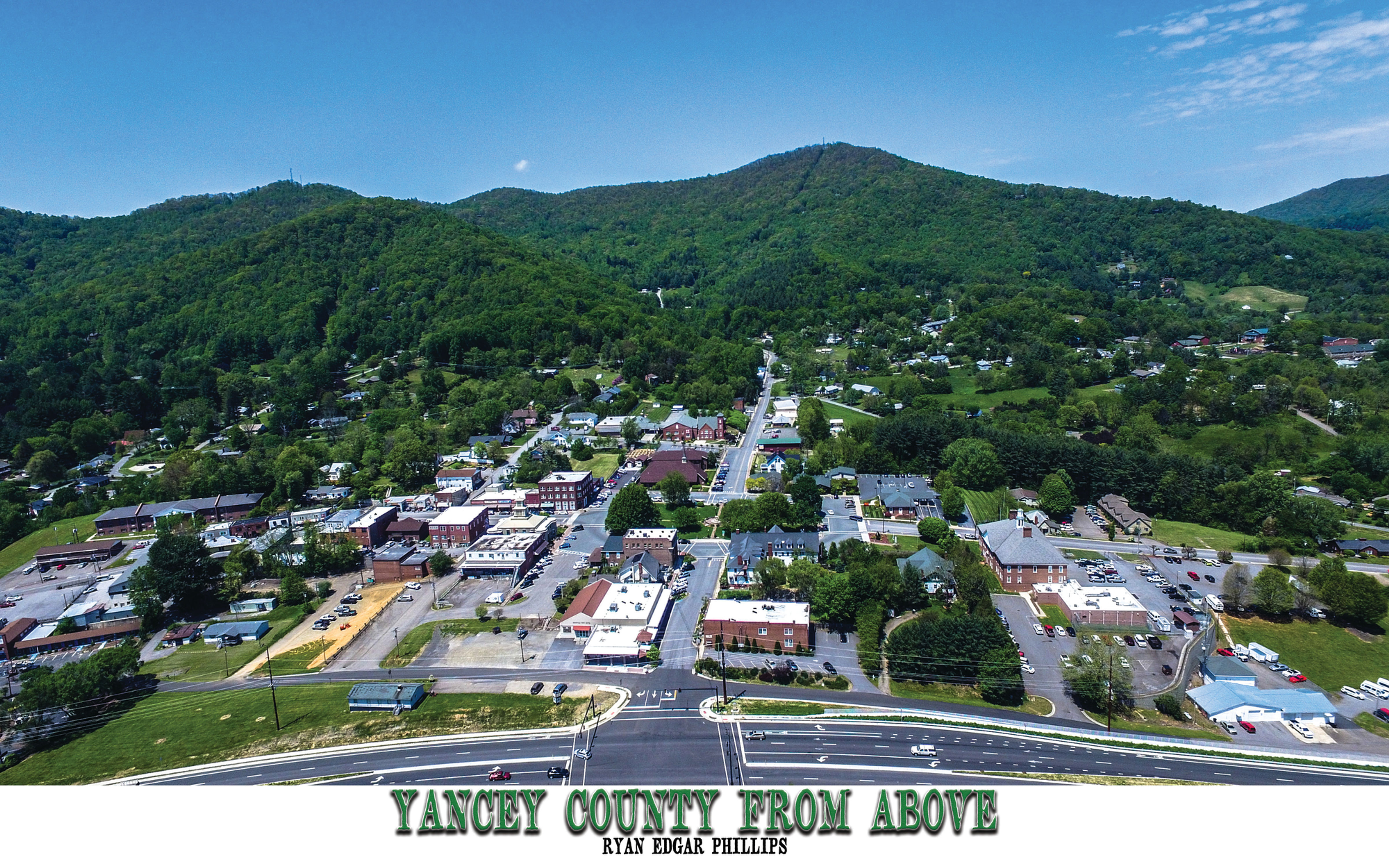
This 11 x 17 inch Glossy Photo Book shows the beauty of Yancey County, North Carolina with 28 full color Aerial Images. Each Image shows a beautiful location in Yancey County, with a brief piece of history describing the image and details you may not know about the location. Yancey County is known as the "Gateway to Mount Mitchell". Independent and sturdy Scottish, English, and Scotch-Irish settlers of the Carolina frontier had crossed the Blue Ridge Mountains and settled the Toe River Valley by the mid-18th century. In the year 1796, one of the early land speculators, John Gray Blount, paid for 326,640 acres (1322 km²) of land, a portion of which later became Yancey County, N.C. In December 1833, the General Assembly established a new western county, named Yancey, from sections of Burke and Buncombe Counties. Yancey County was named in honor of one of North Carolina's most distinguished statesmen and former U.S. Congressman, Bartlett Yancey.
PRODUCT INFO
11 x 17 Inch Glossy Hard Page Photo Book.
RETURN & REFUND POLICY
30 Money Back Guarantee. Returns accepted.
SHIPPING INFO
Shipping is $6.65 for Flat Rate Shipping United States Postal Service.